
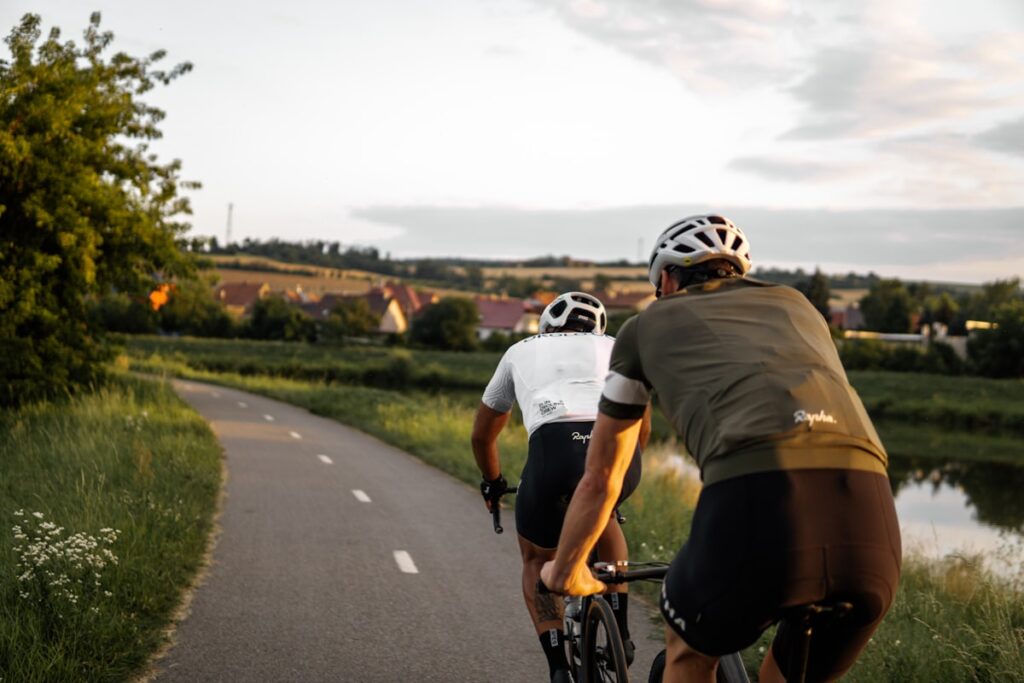
If the foothills are Boise’s wild side, the Boise River Greenbelt is its beating heart. A flat, scenic ribbon of pathway running along the river through the middle of the city. Walk it, run it, ride it. Here’s your local guide to making the most of it.
What is the Boise Greenbelt?
The Greenbelt is a roughly 25-mile tree-lined path that follows the Boise River, connecting parks, downtown, universities, and neighborhoods. It’s flat, mostly paved, and open to walkers, runners, and cyclists. The easiest place in the city to get moving, rated 4.9 stars by locals for a reason.
Best ways to use the Greenbelt
String together the parks: start near Ann Morrison or Esther Simplot Park (home to Quinn’s Pond), and you can walk, jog, or bike for miles without a hill in sight. It connects to Kathryn Albertson Park for a quieter loop, and you’re never far from downtown for a post-walk coffee or healthy bite. It’s perfect for active recovery days between tougher workouts.
Frequently asked questions
How long is the Boise Greenbelt?
About 25 miles of mostly paved, flat pathway along the Boise River, connecting parks and neighborhoods across the city.
Can you bike the Greenbelt?
Yes. It’s a favorite for cycling, running, and walking. Just share the path and follow posted etiquette.
Is the Boise Greenbelt good for a beginner workout?
Yes, the flat, paved path makes it one of the most approachable places in town to start walking, running, or biking regularly.
Use it as part of your plan
The Greenbelt is the perfect low-impact complement to strength training. Reach out to Motivate Fitness and we’ll build a plan that uses everything Boise has to offer.
Local tip: Boise Parks and Recreation is a helpful resource as you plan.
